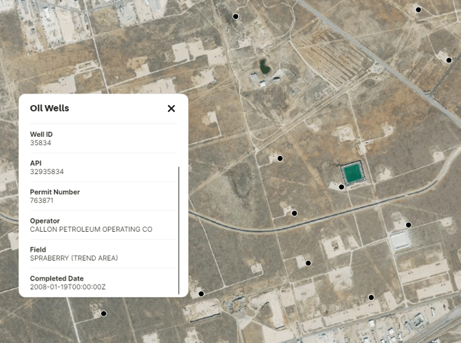
Oil Wells Overlay
Learn about the Oil Wells Overlay, including the definition, benefits, tips, coverage and update frequency.
Available with any of the following subscriptions:
- All plans
Definition
Our Oil Wells Overlay represents oil and natural gas wells. An oil or natural gas well is a hole drilled in the earth for the purpose of finding or producing crude oil or natural gas; or producing services related to the production of crude or natural gas.
The data is derived from the Homeland Infrastructure Foundation-Level Database and the Texas Railroad Commission.

Key Benefits
- Assist oil and gas experts to swiftly locate existing wells from the office or the field
- Assist informed decision-making with data fields such as status and operator
Tip: Click the oil well icon to see a pop-up with information on the status, source data, well ID, American Petroleum Institute number, permit number, operator, field and completion date for each well.
Limitations: This layer should be used for reference only. Users should be cautious of potential temporal lags in updates, omissions, and positional precision errors.
Coverage
United States of America
Update Frequency
As updates are available