Available with any of the following subscriptions:
- All plans
Definition
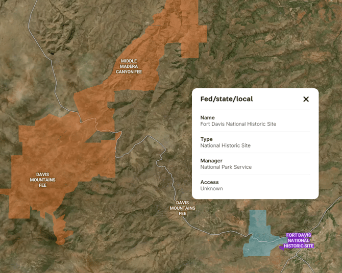
The Federal and State Lands Overlay describes areas within a country's territory that are owned or managed by federal or individual state governments. It also contains boundaries of land managed by county and municipal governments where available. These lands are often categorized based on jurisdiction and are subject to distinct regulatory frameworks. Federally owned lands fall under the authority of the national government, encompassing national parks, forests and wildlife reserves. State lands, on the other hand, are under the jurisdiction of individual states, and their use and management are governed by state-specific policies.
Key Benefits
This overlay can be an effective tool for highlighting a listing’s proximity to interesting and valuable public lands, as well as searching for land near recreational or grazing land.
Tip: Click on a designated area to see information on the name, type, managing agency and access for each unit.
Limitation: This layer should be used for reference only. Users should be cautious of potential temporal lags in updates, omissions and positional precision errors.
Coverage
United States of America
Update Frequency
As updates are available