Available with any of the following subscriptions:
- All plans
Definition
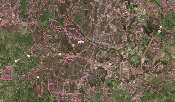
Our City Limits Overlay refers to the designated boundaries or borders that define the extent of a city's legal and administrative jurisdiction. These limits mark the geographical area over which a city exercises its governance, regulatory authority and services. City limits are often established through legal processes and are important for determining issues such as zoning regulations, taxation and law enforcement jurisdictions within the defined urban or municipal area.
Key Benefits
City limits serve multiple purposes, including supporting and informing:
- City planning initiatives by aiding in decisions related to land use, zoning and infrastructure development.
- Administrative functions, enabling effective jurisdictional analysis for law enforcement, emergency services and various city departments.
- Economic development and business location analysis, guiding enterprises to suitable areas based on zoning regulations and proximity to target markets.
- Tax assessment processes, providing a foundation for local governments to determine property taxes and other financial considerations within their jurisdiction.
Tip: Label includes the name of each city.
Limitations:
- This overlay does not contain extra-territorial jurisdictions (to be added in 2024). This overlay should be used for reference only.
- Users should be cautious of potential temporal lags in updates.
Coverage
United States of America
Update Frequency
Biannually